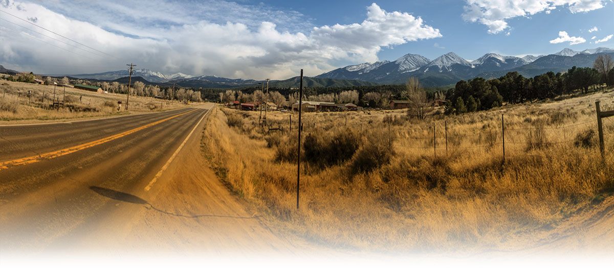
It is highly recommended that you view this page on a desktop with a broadband connection. My personal website is currently being renovated to accommodate some of the latest web standards and to include some modern design elements. This webpage was quickly created by hand using a simple text editor as I have had limited time to work on reconstructing my website while also preparing for my pharmacy licensing exam and wedding. As my personal website comes back together these photos will gradually be incorporated for sale. For the time being I hope this will suffice for your viewing pleasure.
Most of you came to this website to look at my photos and not to read what I have to say about my trip. Understandable. Click here to jump straight into the photo galleries. Also use the navigation at the top of the page to jump around to each section.
For those of you who do not know, I recently returned from a cross-country road trip that was built around my final clinical rotation which was with Indian Health Service (IHS), a requirement that I had to complete before graduating from pharmacy school. IHS is a uniform division within the U.S. Department of Health and Human Services that provides healthcare to all the federally recognized Native American in the continental United States. I took one week to drive to my original rotation site in San Carlos, Arizona, a small Native American reservation located two hours east of Phoenix, but as I was driving through the big state of Texas, I was notified by IHS that my rotation site was canceled. After some head-scratching and panic, I was fortunately reassigned to Phoenix Indian Medical Center near downtown Phoenix. Although it was not the isolated reservation experience which I had signed up for, the reassignment ended up being a blessing in disguise, as I was able to participate in a busy, major city hospital, continued to be connected to the twenty-first century as well as utilize all of its modern comforts, and still got to explore the beautiful state with which I fell in love with: Arizona.
My return trip was extended to three weeks because I had signed up to attend the American Pharmacy Association's (APHA) Annual Meeting in nearby San Diego. This conference was held one week after the end of my clinical rotation in Phoenix, so I planned a one-week tour around California to visit friends and capture California's diverse scenery. Following the APHA conference I spent one week driving through the wondrous Colorado plateau before spending a week in Atlanta and returning to my hometown of Holiday, Florida.
Many people have been eager to learn more about my trip and look through my photos. I am currently in the middle of completing a journal of my experiences out west, so in the meantime this webpage exists. I took more than 21,000 photos on my 64-day journey, of which, approximately 4,900 I kept in my photo collection. Although I have posted a select few photos on social media (Facebook, Instagram) the photo galleries on this website showcase all that I deemed worthy of representing my experience out west.
My planned route changed a few times before and during my trip. When I was reassigned to Phoenix, Arizona instead of the San Carlos Native American Reservation, my opportunities to explore Arizona opened up even more than I had planned and on many occasions I took extensive road trips to northern Arizona. After the completion of my clinical rotation in Phoenix, the remainder of my journey was not as well thought out. Although I had a general idea which direction I would be driving, many of my days were planned the night before. It all came down to time constraints. After I left Phoenix I had one week to explore California until I had to be in San Diego for a Pharmacy conference. I also had to return to Tampa by April 10th for my bachelor party, which cut off my original idea of driving all the way to South Dakota and seeing Mount Rushmore. The changes I made were not huge sacrifices, but they are still location I would like to eventually visit ni my lifetime.
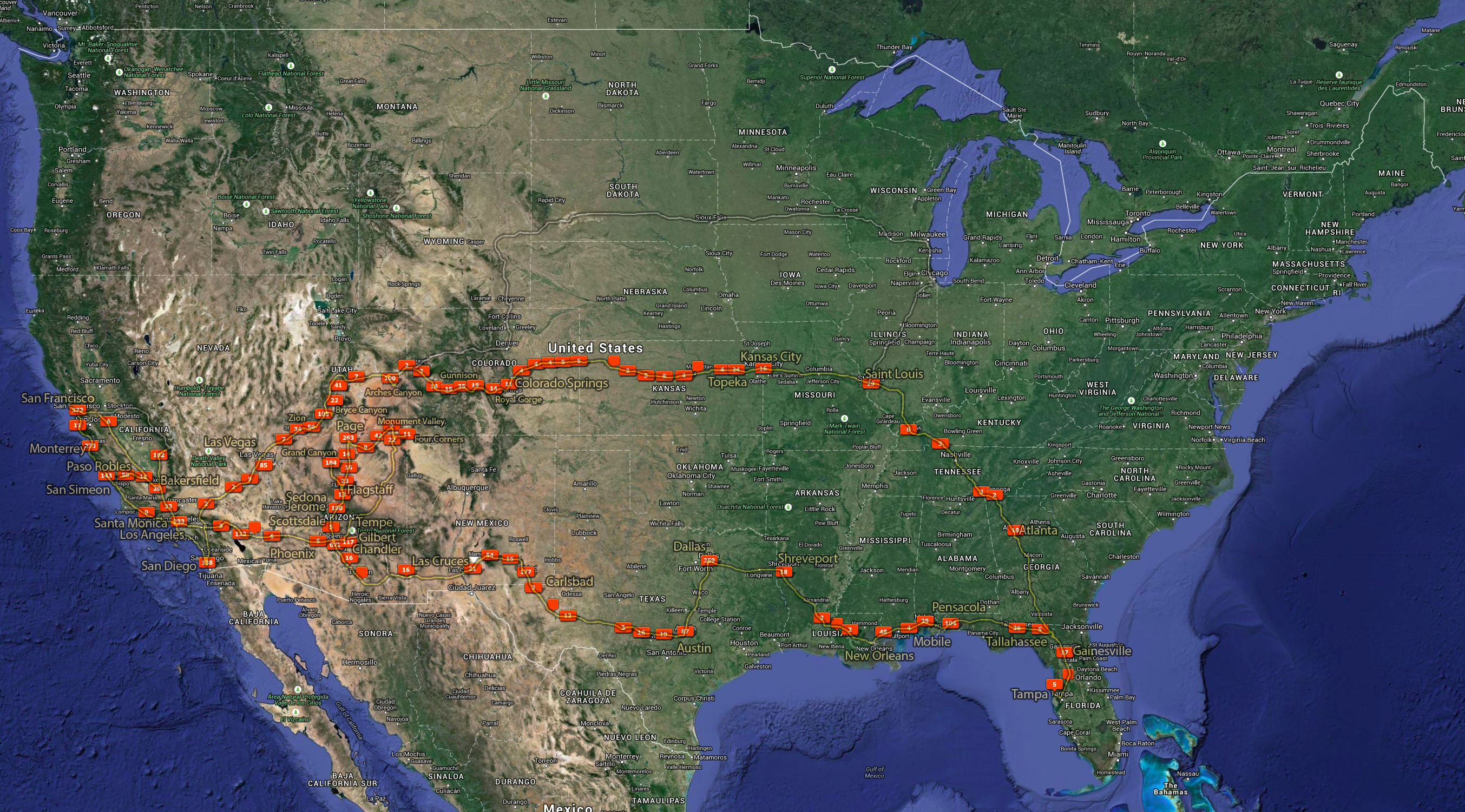
The map below shows the route that I had planned to take (grey) and the final route I took (yellow), including the locations where I took photos based on the GPS coordinates recorded by my camera.
Click on the map to expand.
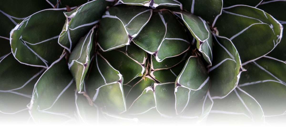
The most difficult part of having a photography hobby is deciding on the proper way to showcase the photos. Even though I took over 20,000 photos, I have selected approximately 1,500 for display in several galleries, divided into four sections, and are in chronological order. Each section depicts a particular time frame during my 64 day trip. These photo are the best of the best and I hope you enjoy viewing them just as much as I enjoyed taking them. While my professional website is currently being reconstructed, please feel free to e-mail me if you wish to have a desktop wallpaper size copy and I would be more than happy to send it to you as an attachment.
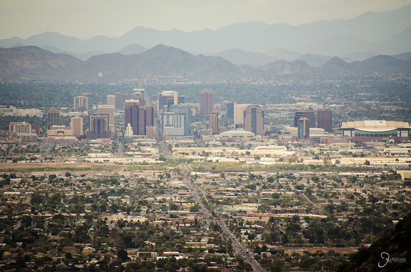
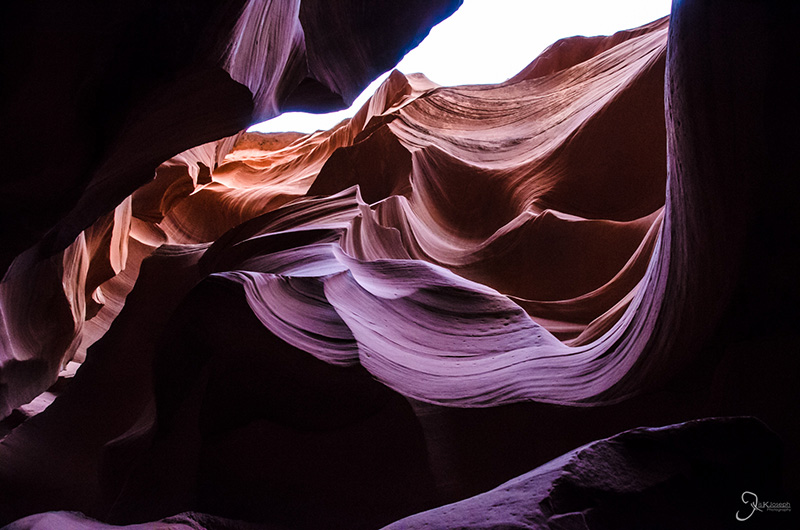
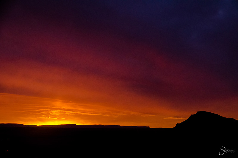
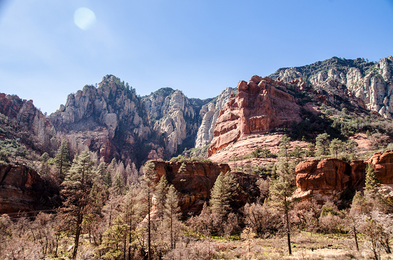
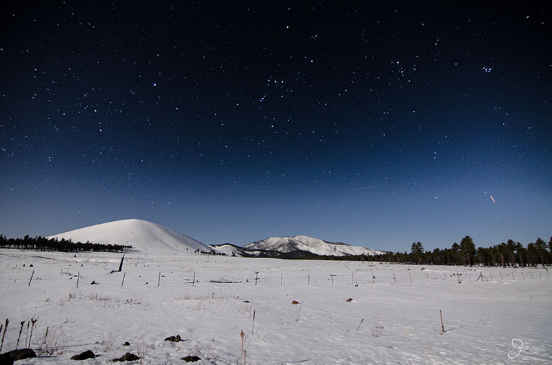
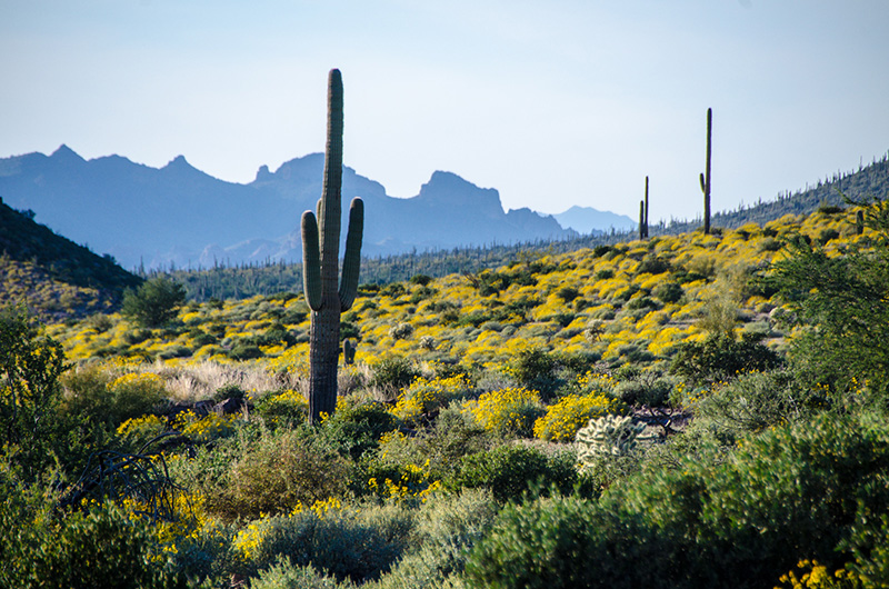
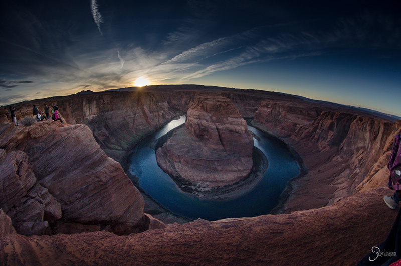
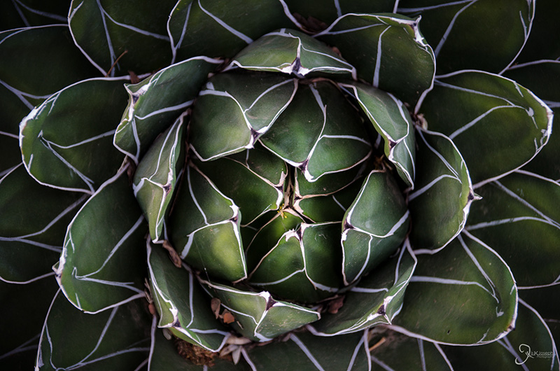
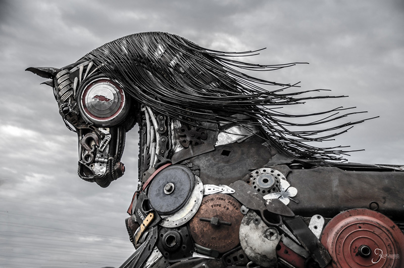
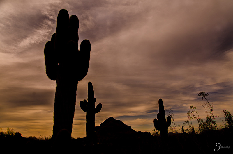
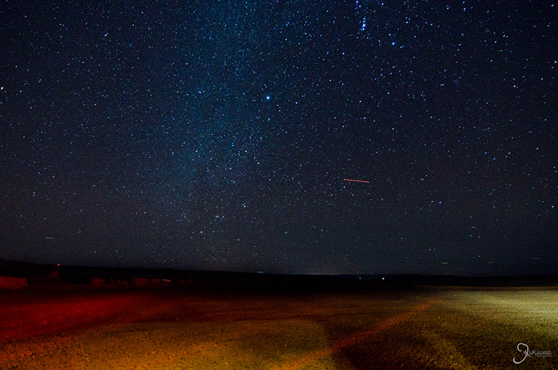
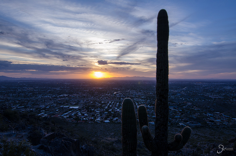
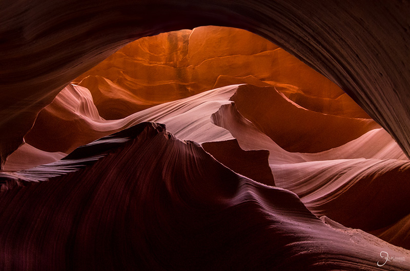
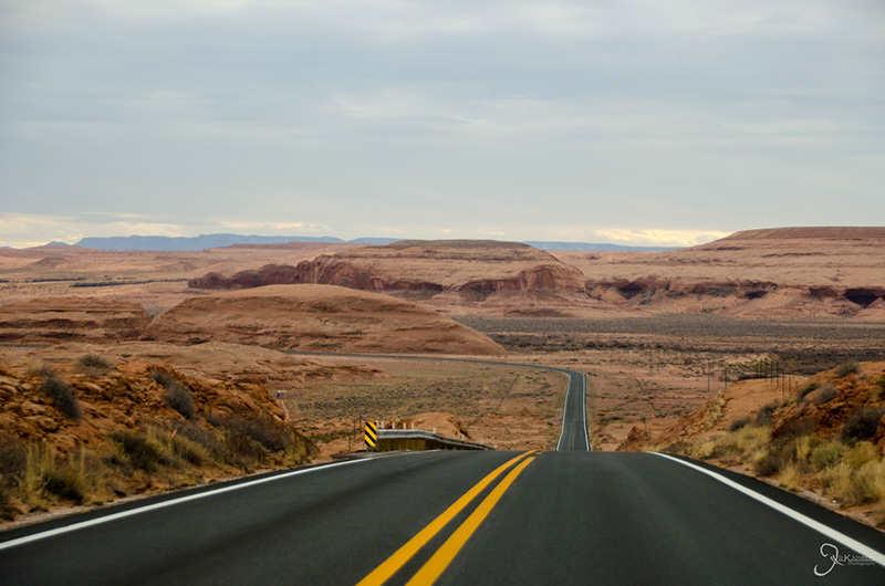
I am biased for choosing Arizona as my top state simply because I spent 5 weeks exploring it. Although my home base was Phoenix, where I worked with Indian Health Services at the Phoenix Indian Medical Center, I commuted from Chandler, a major suburb of Phoenix, and every weekend or after work I made it a priority to experience some part of Arizona life.
Phoenix is in the middle of the Sonoran desert, sometimes nicknamed the "green desert" because of its wide variety of cactus and dense expanses of the iconic saguro cacti. There are small mountains that dot in and around the city that make up more than 200 hiking trails, some of which I would venture into after work to allow the rush hour traffic to die down.
Despite being a desert, I came during the best time of the year. During my winter stay it reached an average high of 75 degrees Fahrenheit, which made all the hiking I did tolerable. If I got tired of desert life, I had the choice to drive two hours north to Flagstaff to find a thick layer of snow, ideal for its ski resorts. Drive an hour east of Phoenix and I would go through a densely wooded landscape known as Tonto National Forest, America's fifth largest national forest with an extensive river system to fuel Phoenix's water and energy needs.
The city of Phoenix was also quite impressive and had a little something for every type of person. Although downtown Phoenix does not give off that urban vibe that is felt in cities like Chicago and New York, it's home to several major league sports teams, upscale restaurants, and a good collection of unique museums. Phoenix's suburbs, such as Scottsdale, Mesa, Tempe, Chandler, and Gilbert, mesh into each other but could also be considered mini cities themselves, all of which had amazing local food offerings from Italian to Thai to, of course, Mexican. Then there are the Vegas-caliber casinos, the PGA-level golf courses, miles of shopping plazas, a growing technology sector... and so far I have only talked about Phoenix.
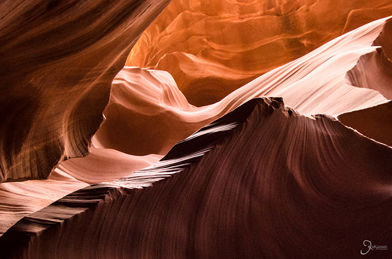
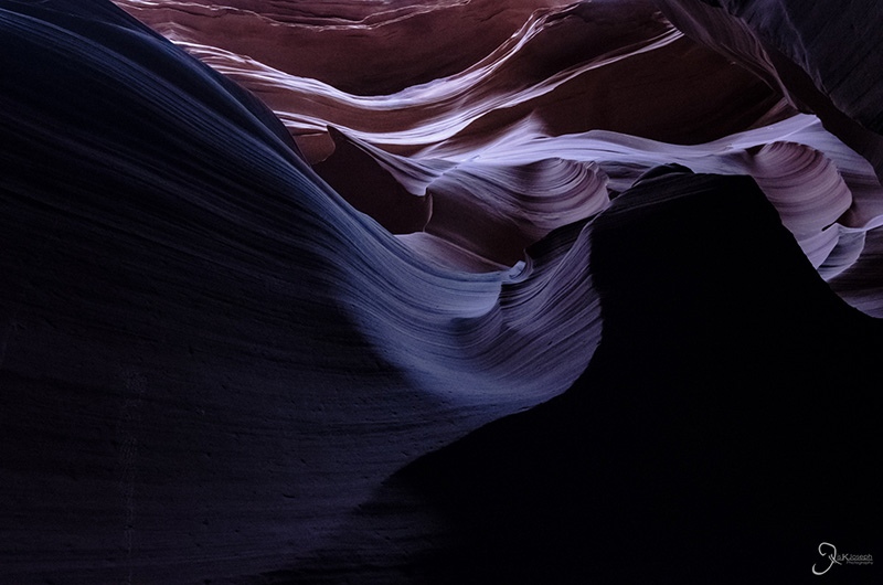
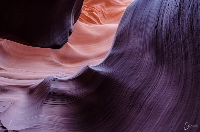
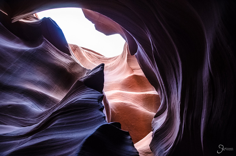
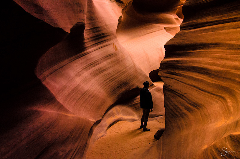
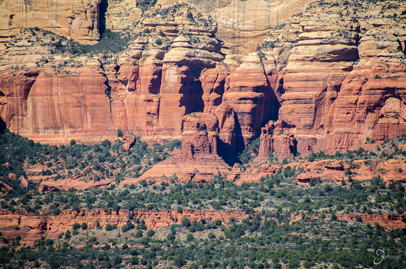
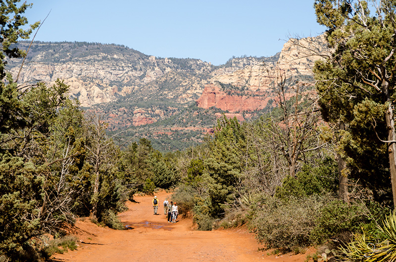
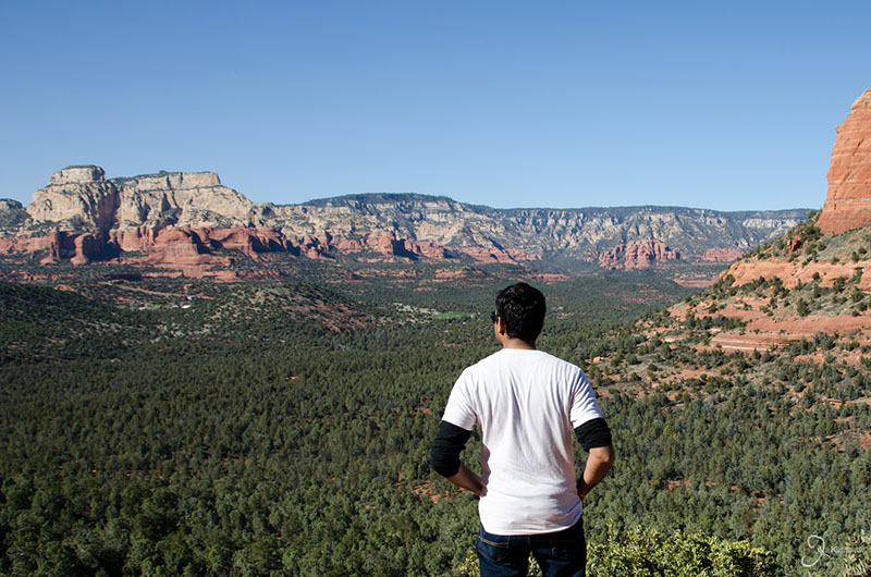
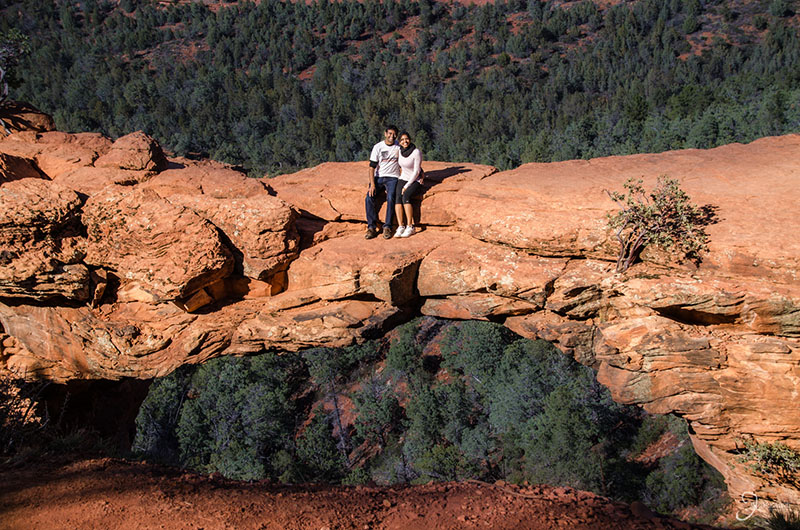
Arizona is of course the home of the world famous, Grand Canyon. The views from the south rim are definitely breathtaking, but Arizona has so many other beautiful secrets to offer. Halfway between Phoenix and The Grand Canyon is Sedona, a beautiful green valley that lies between some of the reddest rock formations I have seen on my trip. Two hours east of The Grand Canyon is the small town of Page. Although, not very well known to the general public, it is home to some of the most photographed canyons in the world: Glen Canyon, Horseshoe Bend, and Antelope Canyon.
I spent a great deal of time exploring this state, but there was so much left to do an see.
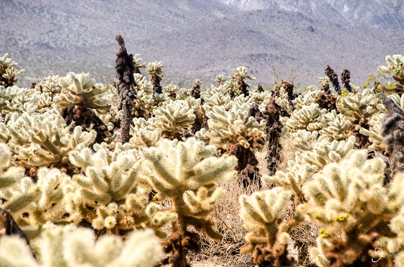
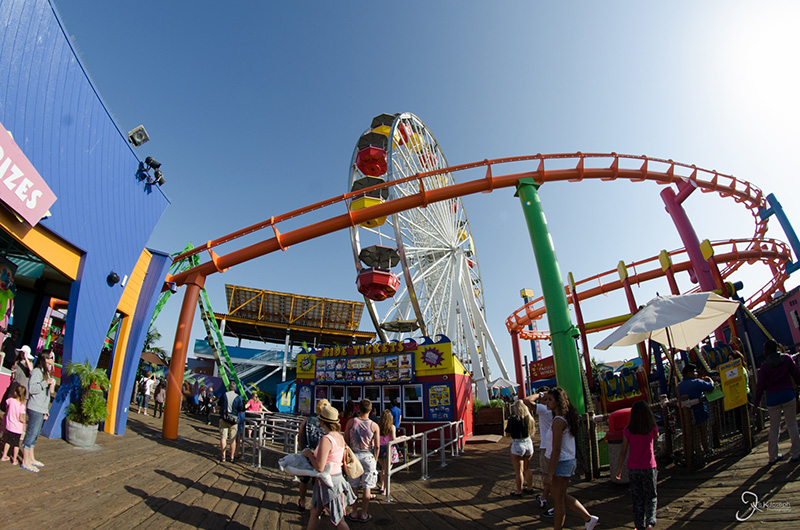
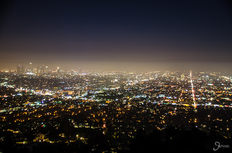
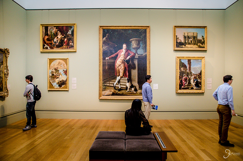
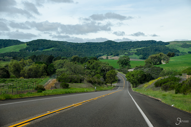
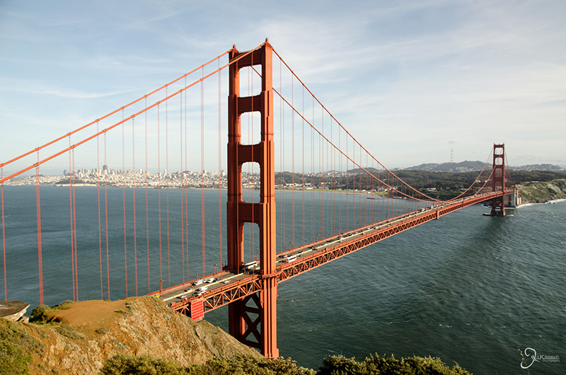

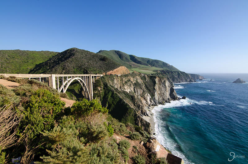
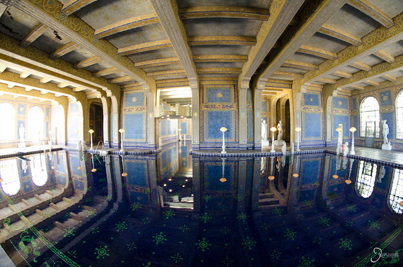

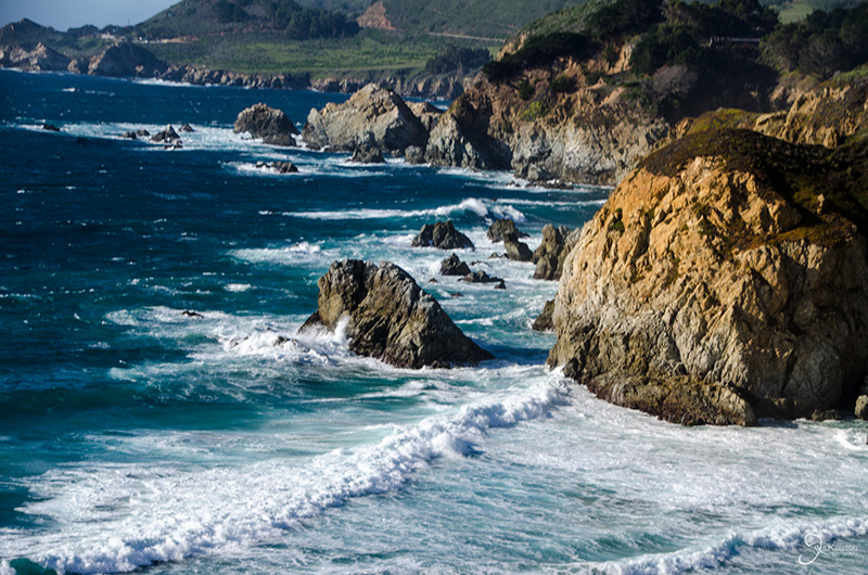
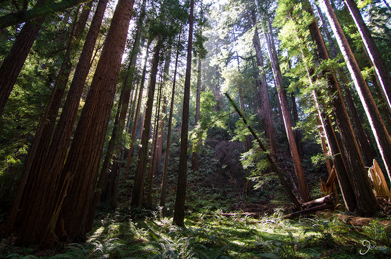
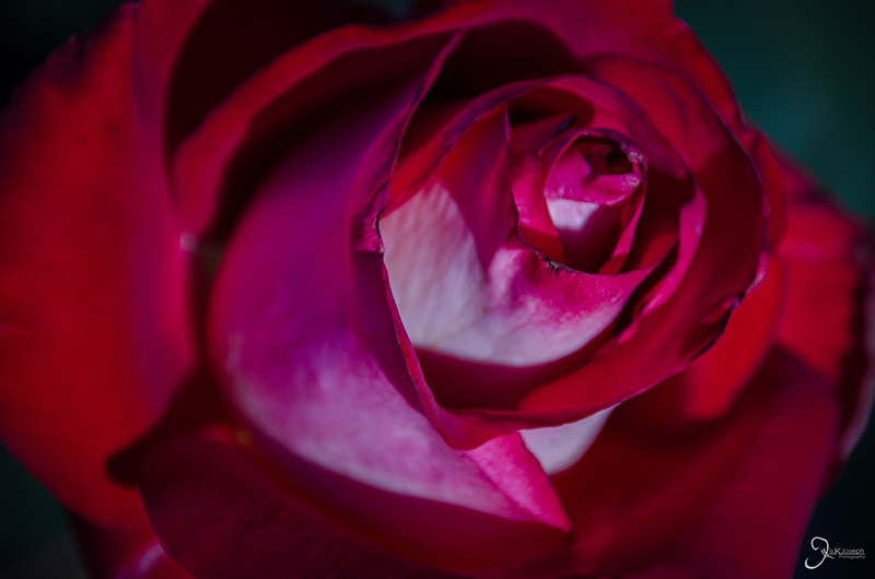
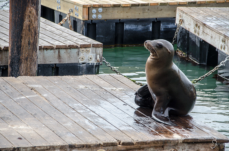
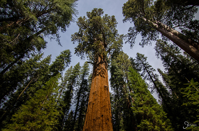
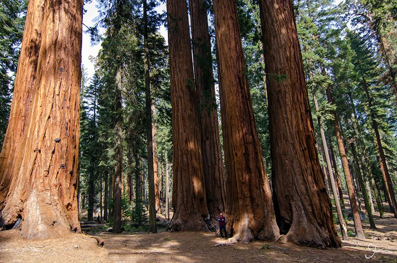
I was initially going to place California third on this list, but as I was looking through my photo collection I realized that California could be a contender for the top spot. I spent a week in California, and within that short window I explored as many things as I did in Arizona for five weeks. I had two particular goals of mine in California: to visit my friends in Bakersfield and San Francisco. So my route took me to the vistas that laid between those cities. That meant visiting the metropolitan meccas of Los Angeles, San Diego, and the San Francisco Bay area, the Getty Museum, Hearst Castle, the scenic cliffs along the Pacific Coast Highway, the Monterrey Bay Aquarium, the giants that live in Muir woods and Sequoia National Park, walking through a federal penitentiary on Alcatraz island, and zooming through the Mojave desert.
My one week in California was unimaginably diverse, but California dropped to second on this list because it is also a state I like to complain about and Los Angeles is a city that I love to hate. By itself, L.A. defines all of California's problems. Not one city on my trip was half as polluted as Los Angeles. I drove to the Griffith Observatory, an astronomy observatory just north of Hollywood that overlook's the city and the Pacific Ocean, to catch a stunning view of the sunset, only to be disappointed by a thick brown haze that blocked my view of the city and possibly induced some cancer cell formation.
The pollution problem is caused by L.A.'s other problem: traffic. Of all the cities I have visited, L.A. traffic is the only city that can top Atlanta's traffic. What makes this problem most aggravating is this city's acceptance that all-day-traffic is the standard of life rather than a reason to fix a problem that will quickly and inevitably become worse. I drove from Santa Monica Pier to get to the Griffith Observatory, which is an 18 mile drive that took me nearly two hours to cover along Sunset Boulevard. Neither one of my GPS's suggested taking the interstate because it would take even longer to reach the observatory. I am sure the State's leadership would be quick to say that there are no funds to consider a decent public transport system, yet California charges some of the highest taxes I have come across on my trip. At $4.19 for a gallon of gas in Santa Monica, it was more than doubled than the $1.78 I paid in Baton Rouge.
With no wind or rain to wash out all the pollution and fueling the state's worst drought in history, California's lucrative agricultural hub, the Central Valley, and its beautiful ancient forests, suffer from poor air quality and urban heat. In addition, I probably saw the highest concentration of homeless people in San Francisco than all the cities I have visited, combined. Despite being California being ranked as the sixth highest GDP compared to all the nations of the world, this interconnected mess of high living costs and, what seemed to me, a lower quality of life, meant one thing to me: a very ineffient state.
Fortunately, I do not live there. Visiting this state is a completely different perception that, despite all the issues I mentioned, is very rewarding.
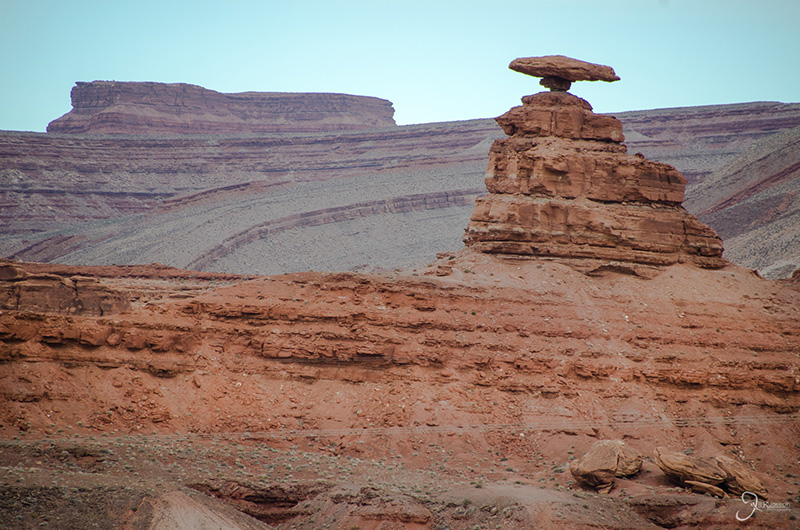
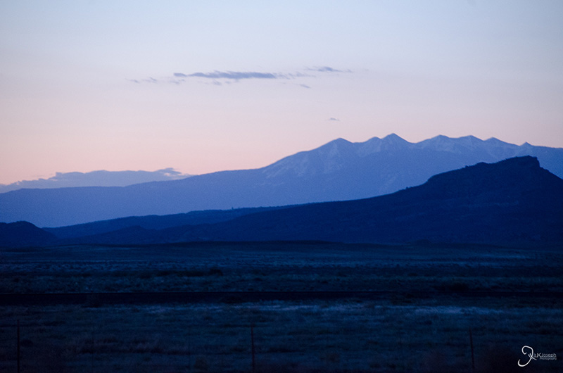
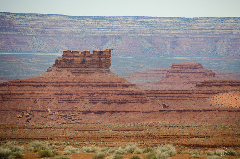
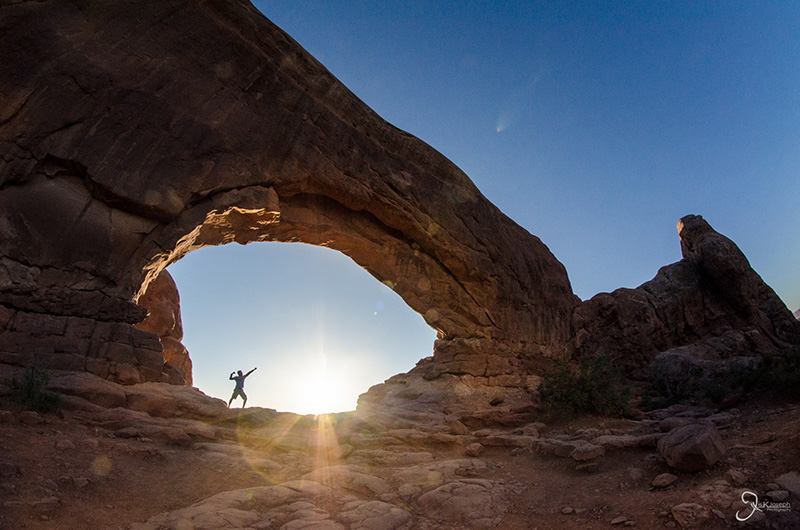
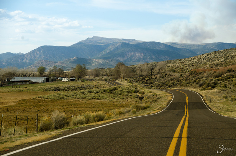
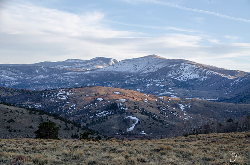
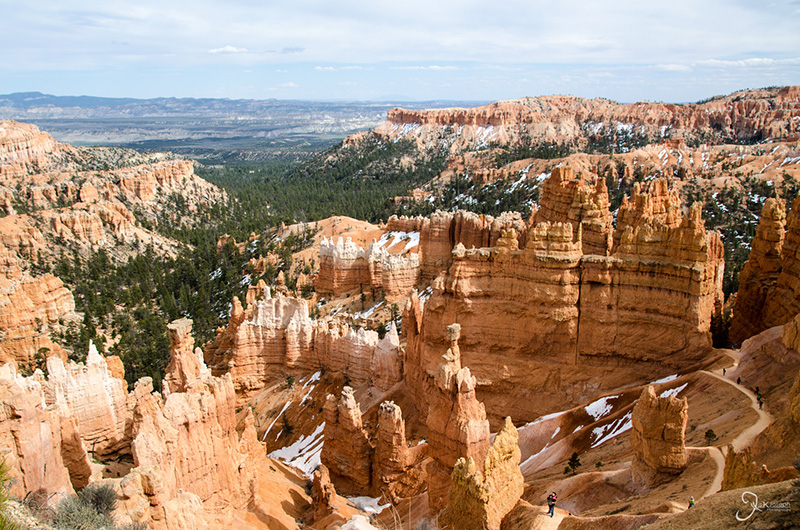
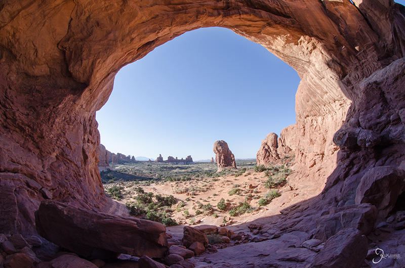
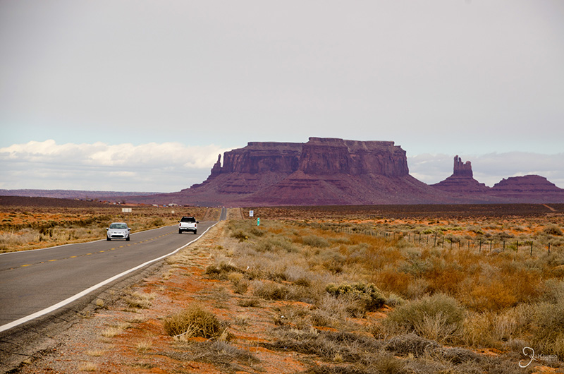
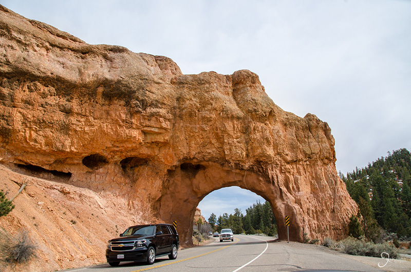
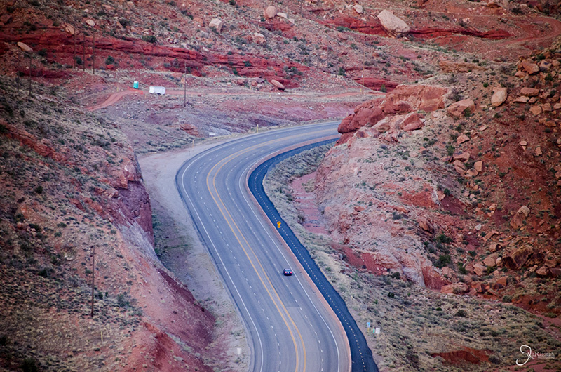
I spent a total of 18 waking hours in Utah, split between two separate adventures, that gave me just a glimpse of this state's large collection of canyons, arches, grottos, buttes, and other eye-opening rock formations. On my first detour through Utah I was driving from Page, Arizona, to the Four Corners National Monument. I took a two-hour scenic route along routes 163 and 191 that started me at one of America's most iconic landscapes, Monument Valley, which is known for its mammoth-size buttes that dot its flat rocky floor. I then got a glimpse of Goosenecks State Park where the meandering San Juan river carved out miles of canyons, arches, and exposed layers of red, pink, orange, and grey rock. Finally, before reentering Arizona, I drove past Mexican Hat rock, which is an interesting rock formation I thought only existed in the old Roadrunner Looney Toons.
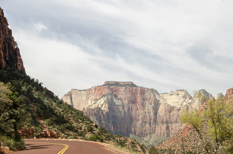
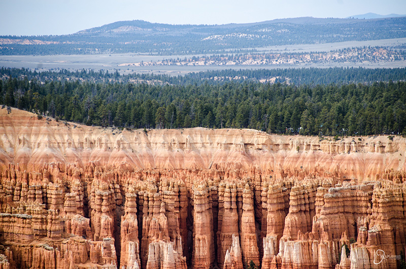
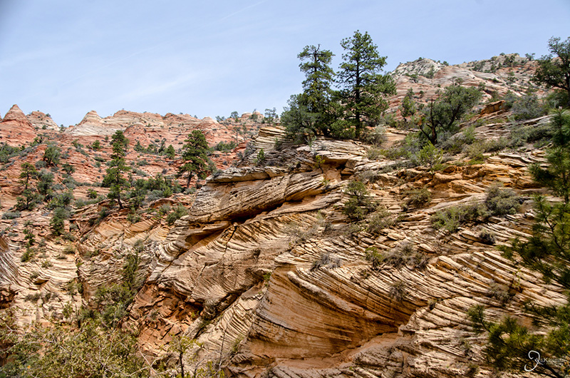
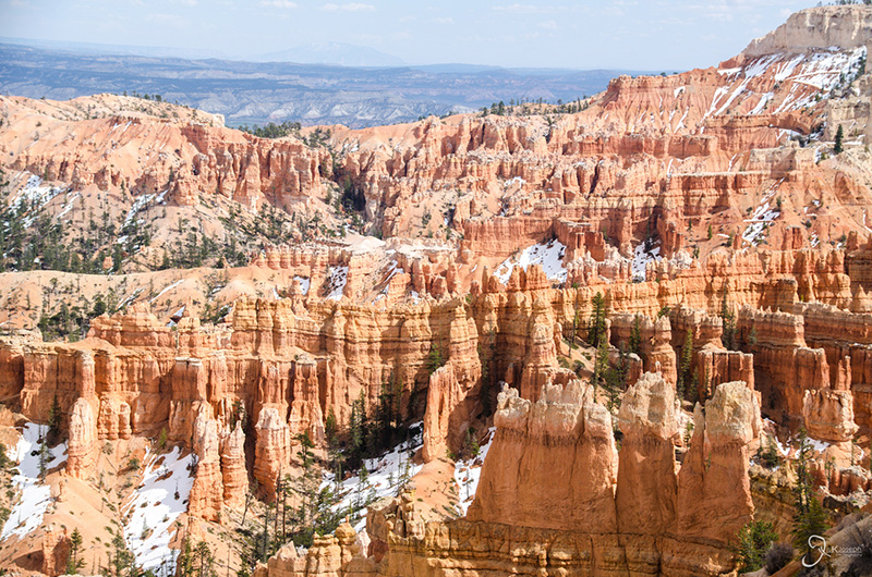
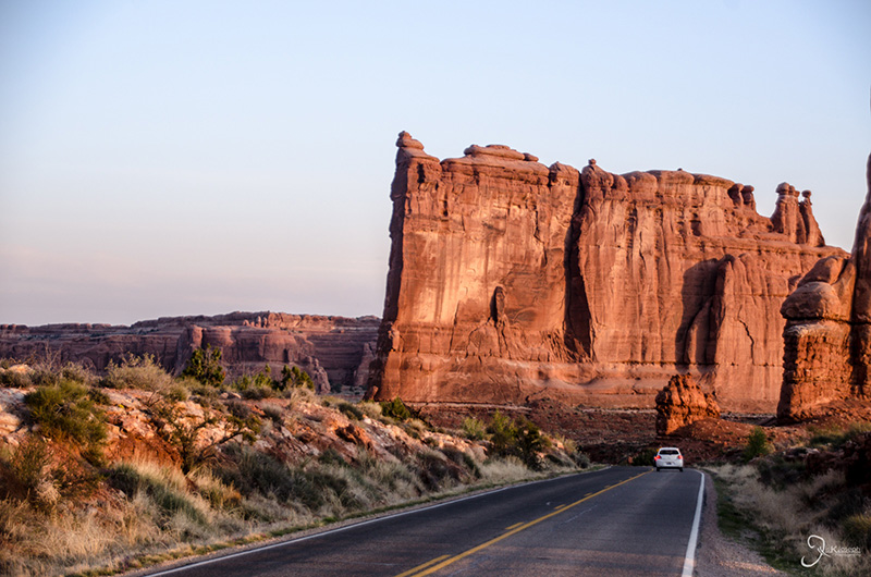
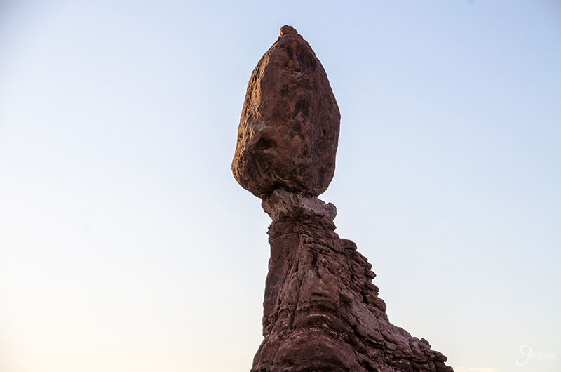
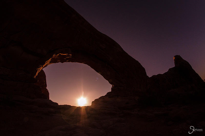
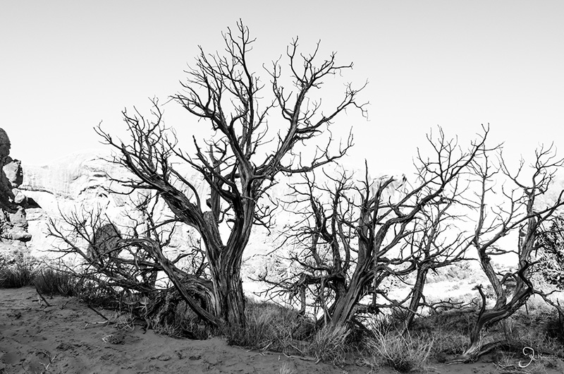
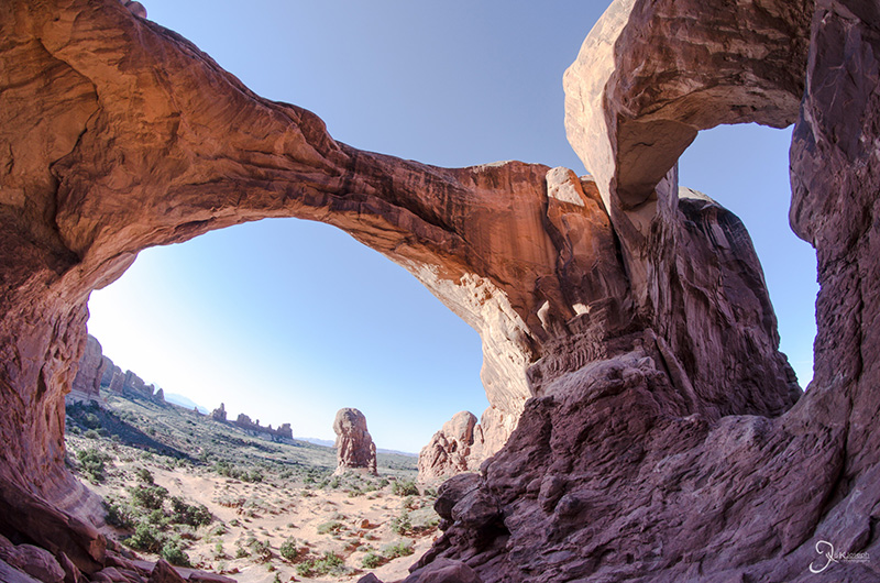
My second excursion into Utah was on my return trip to Florida. Utah is known for its "Mighty Five," and in a little more than 24 hours I visited three of them (Zion, Bryce Canyon, and Arches National Parks). Although I did not devote much time to explore each park, the little time I did spend driving through them provided some of the most rewarding vista views I had on my trip. Zion Canyon offered a warm, green, and mountainous terrain with tall monoliths that erupted from the ground. Bryce Canyon had more vivid and intricate rock formation than I had seen in the Grand Canyon. And Arches Canyon housed some of the most scenic stone arches imaginable.
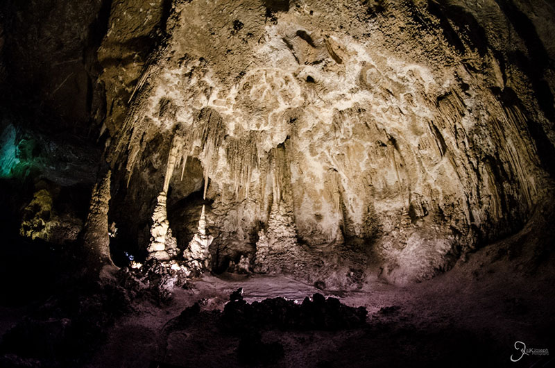
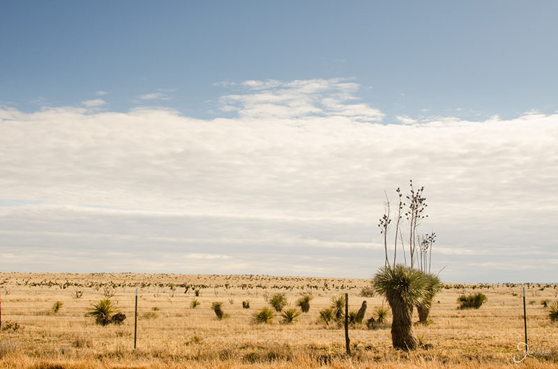
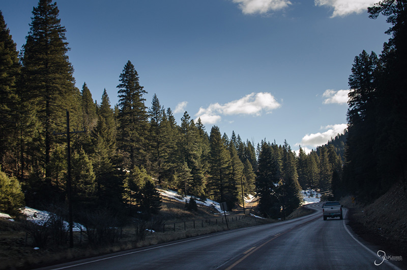
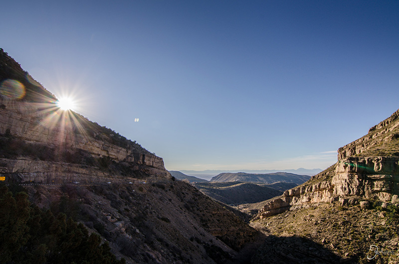
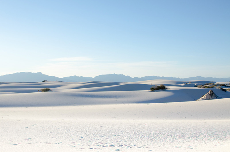
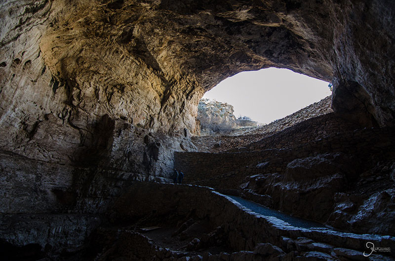
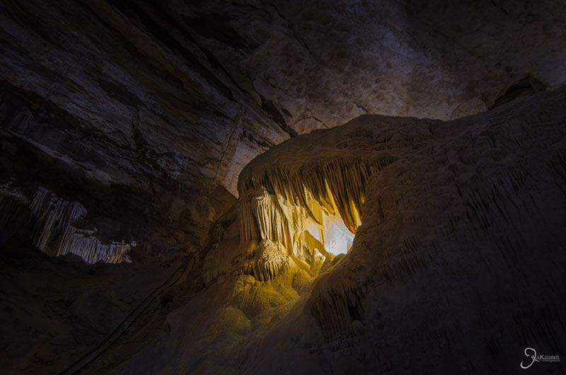
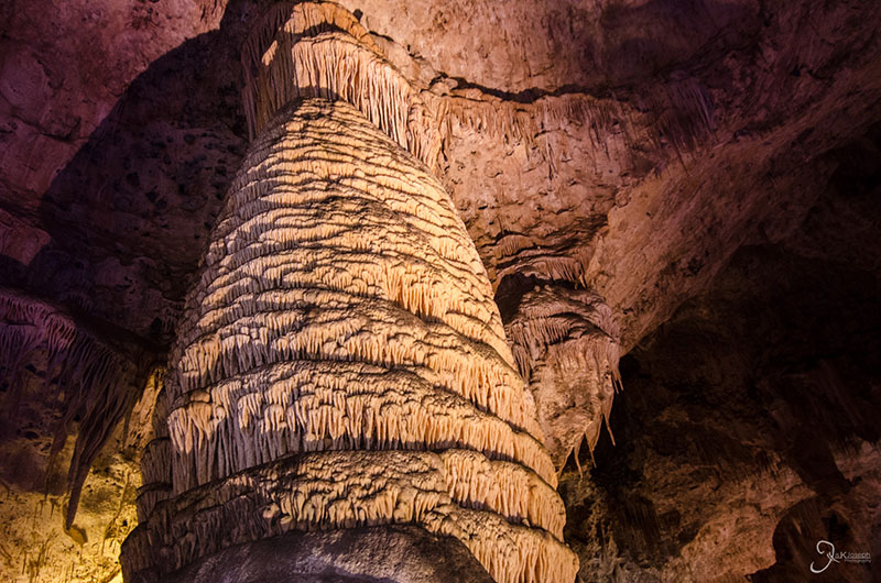
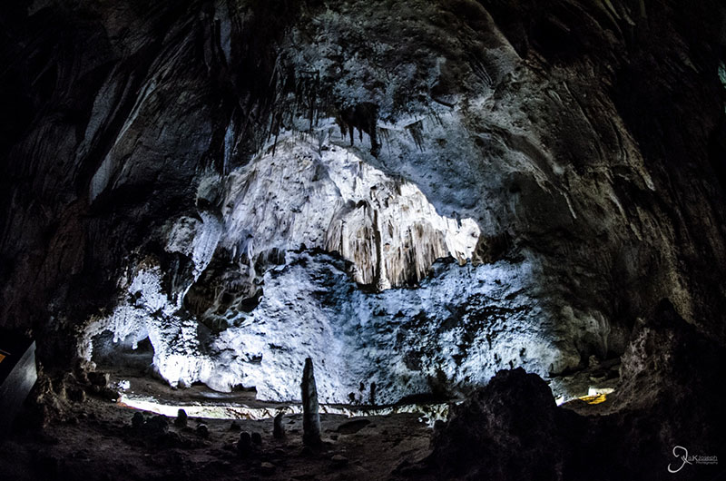
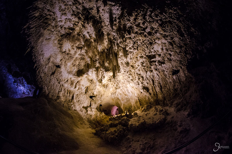
Prior to entering New Mexico, I thought of it as a barren state with tumbleweeds and flat desert but it ended up being one of the most beautiful states on my way to Phoenix. I only made two stops in New Mexico, Carlsbad Caverns and White Sands National Monument, and the five-hour scenic route between the two sites was the most diverse in my entire road trip. Within a few hours of driving I went from an enormous underground cavern, to rolling grass plains, to green valleys, to snowy mountains with ski resorts, to a rocky canyon, to a sandy white desert.
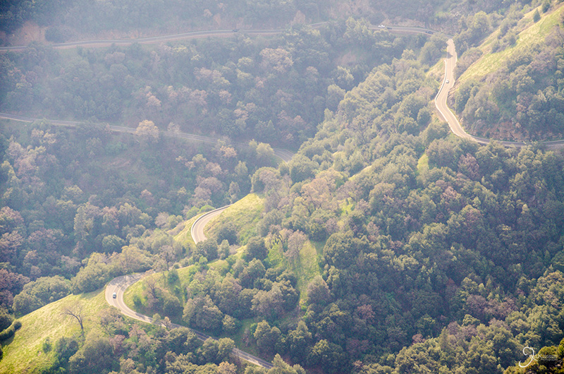
One of the best tips I can give people planning to do a road trip is to avoid the interstate and take the backcountry roads. It is on these strips of land you can see the most National-Georgraphic-worthy scenes in the country and the following list of routes were some of the most scenic I observed on my trip.
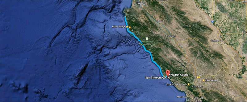
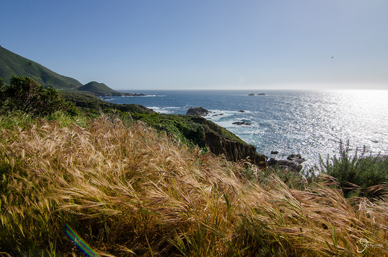
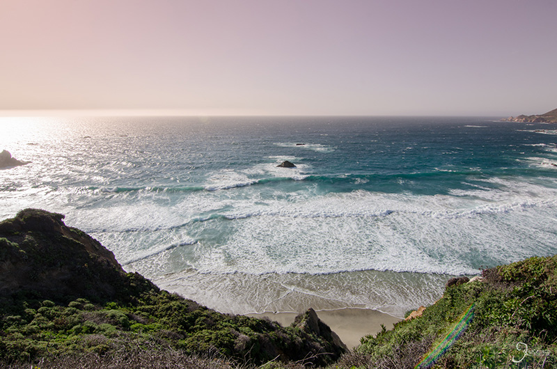
If you have not heard of the Pacific Coast Highway and Big Sur, you have a lot of reading to do. Photo galleries from this route: Big Sur.
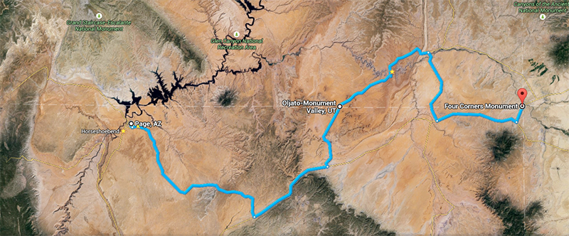
This stretch of road pretty much defines what people imagine when driving through the American West. The route is surrounded by the mammoth buttes that make up Monument Valley and Valley of the Gods, and also takes drivers past Goosenecks State park, which is known for the the meandering San Juan River that created horseshoe bend gorges thousands of feet high. The route also takes you through the town of Mexican Hat, named after a rock formation that looks like... a Mexican hat. In addition, the varying colors of the exposed rock were some of the most varied I had seen on my trip. This route that I took ended at one of my least favorite sites on my entire trip, The Four Corners National Monument, but the drive to it was quite picturesque. Photo galleries from this route: Drive To Utah, Monument Valley, The Four Corners.
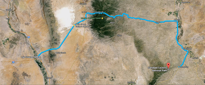
Driving along US 82 to get from Carlsbad Caverns National Park to Las Cruces, New Mexico, erased all previous presumptions of New Mexico. Instead of being a barren state with tumbleweeds and flat desert, I saw rolling grass plains, green valleys, snowy mountains, rocky canyons, a sandy white desert, and ended in a major urban area, Las Cruces. Photo galleries from this route: Lincoln National Forest and White Sands National Monument.
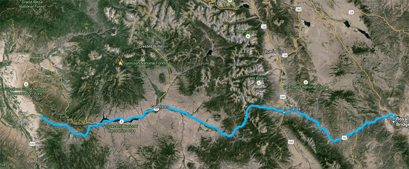
I had a few options while deciding on how I wanted to cross the Colorado Rockies. After some online research for the best scenic routes in the state, US 50 topped several lists, and it did not disappoint me. Starting from the city of Grand Junction and ending in Colorado Springs, I climbed up to snow capped peaks and descended into picturesque canyons and valleys. The route crosses the continental divide, the natural division of where the eastern U.S. meets the western U.S., and is just miles from the Royal Gorge Bridge, a park that is home to what was the highest bridge in the world (from 1929 to 2001) that crosses a gorge carved by the Arkansas River, nearly one thousand feet deep. Photo galleries from this route: The Rocky Mountains and Royal Gorge Bridge.
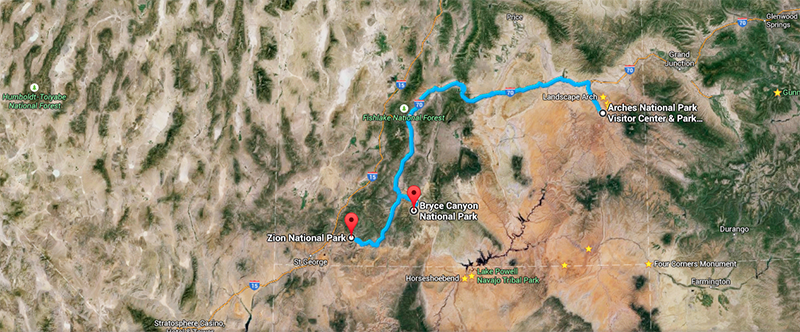
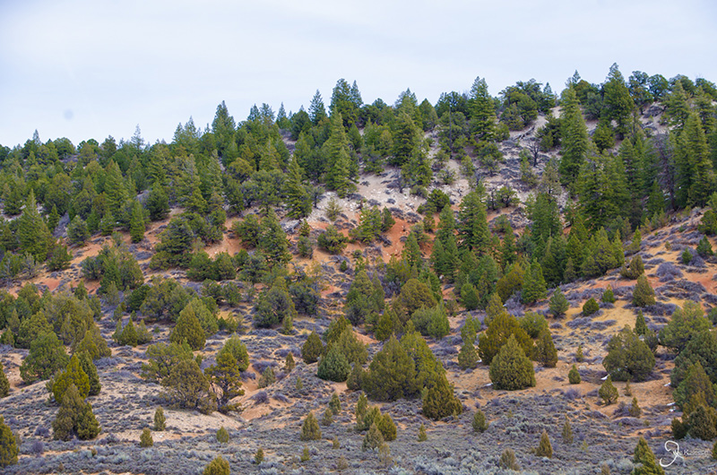
Getting from Zion Canyon, to Bryce Canyon, to Arches Canyon could have been done by utilizing I-15 and I-70, or even US 89, but I manage to take the most convoluted route that gave me some of the most amazing views of Utah's backcountry, as well as a few of its natural forests. After leaving Zion National Park I took US 89, Johns Valley Road Utah State Road 62, US State Road 24, and finally Utah State Road 72 which linked up with I-70. Along this route I drove through Dixie and Fish Lake National forests, as well as got a glimpse of another one of Utah's "Might Five", Capitol Reef National Park. Photo galleries from this route: Zion National Park, Bryce Canyon National Park, and Dixie National Forest.
Scenic vistas on this list are the rest areas or stops on the side of the road that made the most impression on me.
Hogan's Pass was one of the vistas I stumbled upon along the way on Utah State Road 72, which takes drivers through Fish Lake National Forest. At nearly 9,000 feet above sea level, this windy rest area lies between two mounts, providing an open view of Capitol Reef National Park.
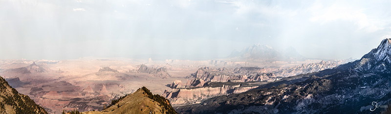
Probably the most videographed location in the word for car commercials, Bixbee Bridge offers a view of a little bit of everything: the powerful blue Pacific ocean crashing against the jagged granite cliffs of Big Sur that holds up the famous Pacific Coast Highway and one of its made made crown jewels, the Bixbee Bridge, with a backdrop of rolling green hills that flow into California's wine country.
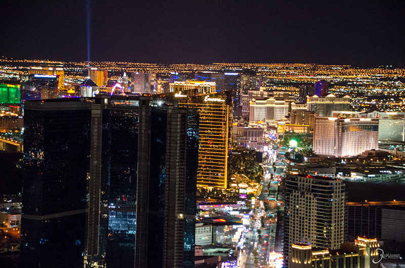
The best view of Sin City, where you can see all the sinners at once in the night of the Nevada desert.
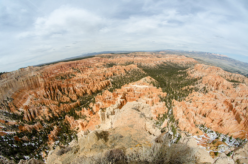
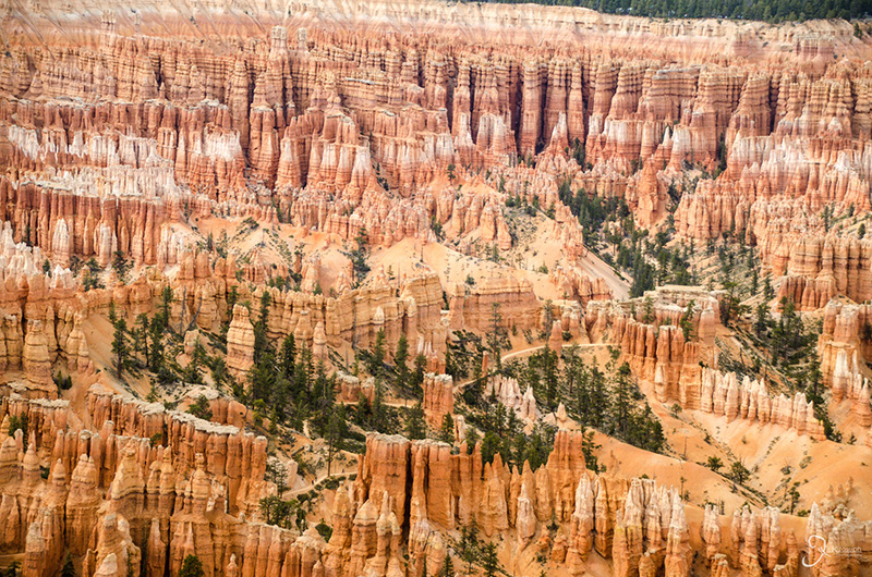
At 8,000 feet, Bryce point, as well as the canyon's several other vista views, offers an up close look at the bright red jagged rock formations, called hoodoos, that make up Bryce Canyon. The canyon is much smaller compared to other notable canyons in the west, but this provides a clearer view of the brightly colored and odd shapes that make up this vista.
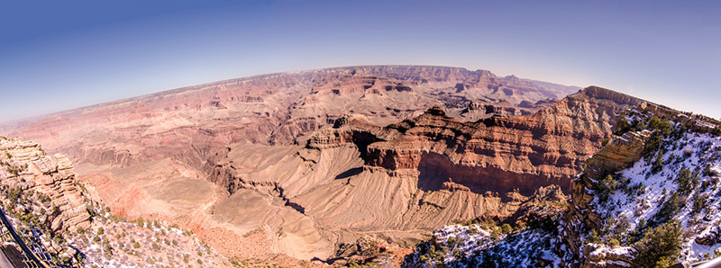
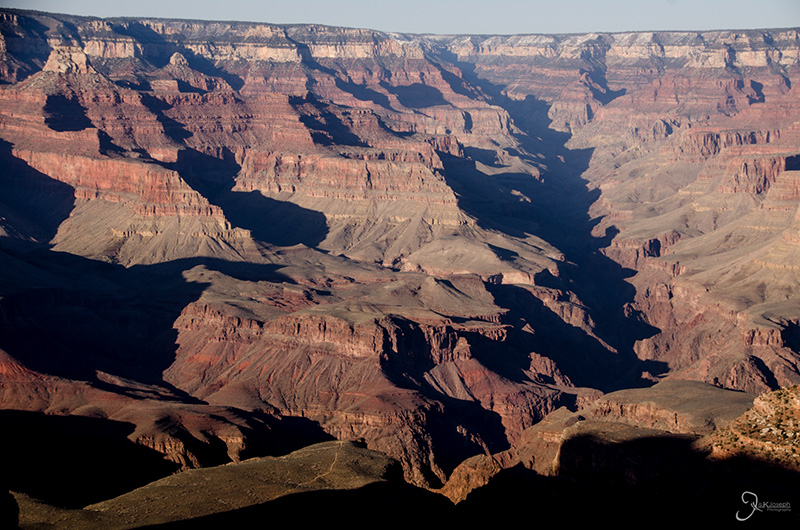
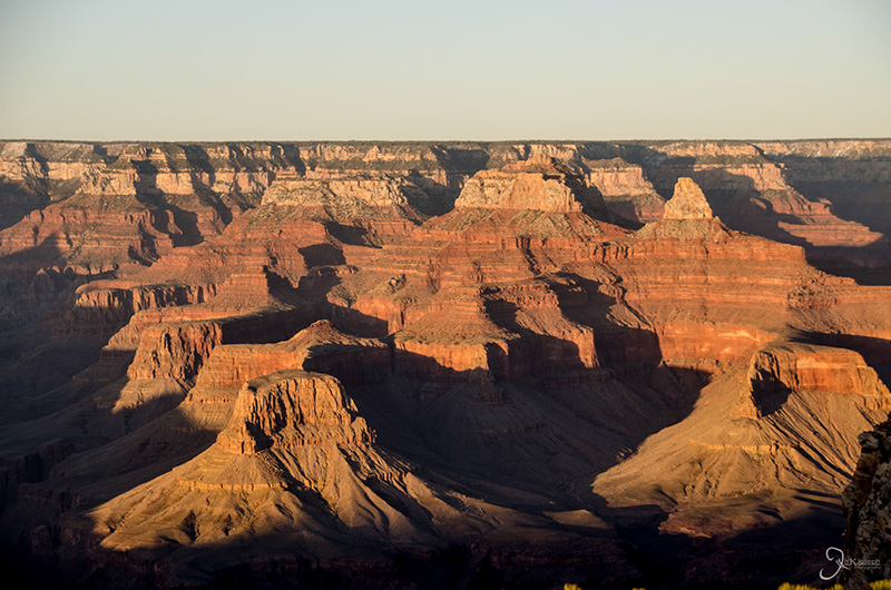
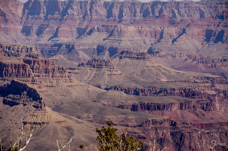
This is almost obligatory to add to this list. Although I do feel that the Grand Canyon takes away all the attention from the west's other beautiful canyons, at near 18 miles high and 5,000 feet deep, the vast size of the Grand Canyon is breathtaking.
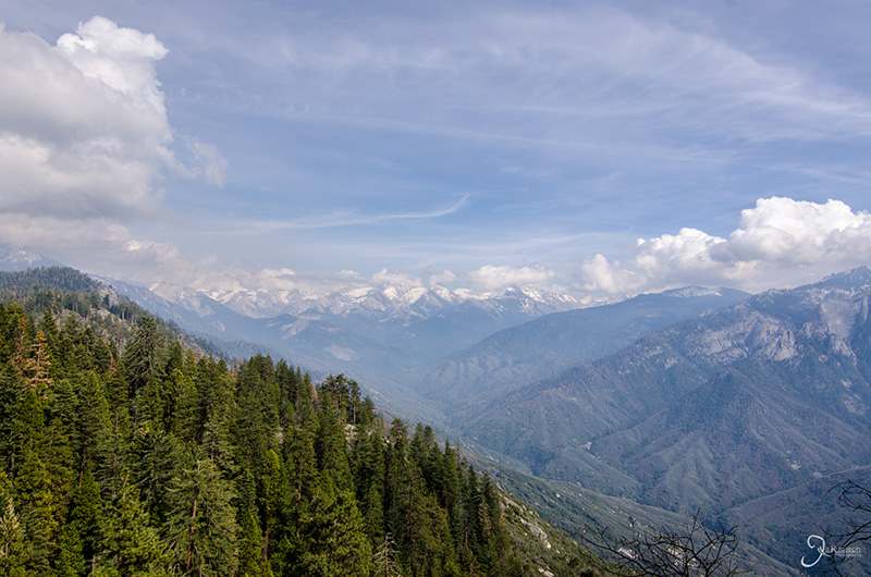
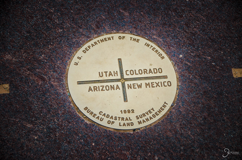
This is exactly what the title says - the meeting point of the corners of four US states at a single point. There is nothing around it for twenty miles and all in all, it was a wasted two hour journey to get there and see a metal plate on the ground.
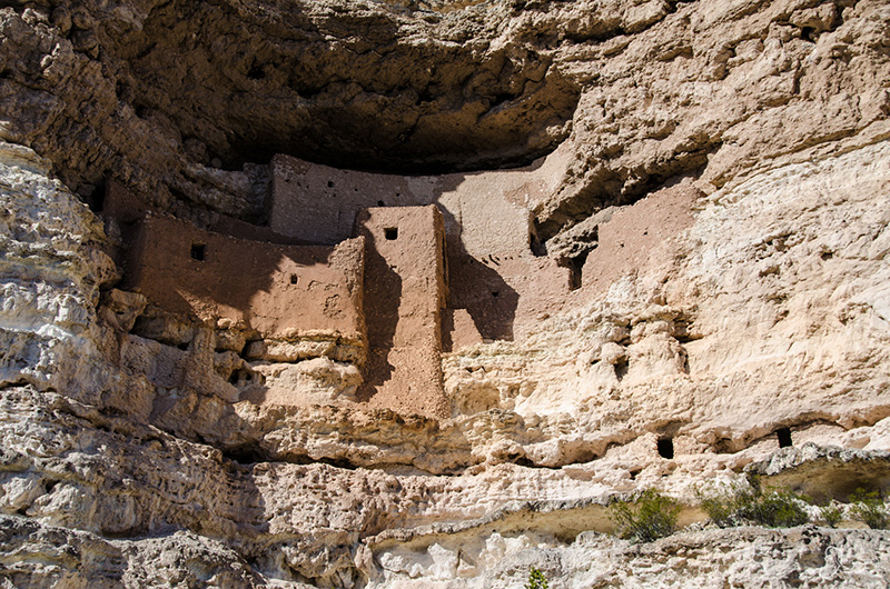
What probably makes this site disappointing to me is its title. Although impressive for being built during its time, Montezuma's Castle is not a large castle. What's more dissatisfying about this Native American archeological site is that not much is known about its history. It's just kind of there.
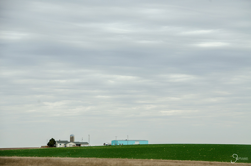
Corn. Windmills. Corn. An interstate that has no turns. Brown V. Board of Education historic site... that pretty much described Kansas.
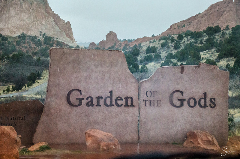
While planning my trip I had a dilemma of either visiting Denver or Colorado Springs as my Colorado stop over. I chose Colorado Springs because I felt a large city like Denver would be overwhelming and too much of a hassle to spend a day in. Colorado Spings seemed like it could offer more with it is Garden of the Gods State Park, a small park with unique red rock formations between the city and the Colorado Rockies. But after touring the rocky canyons in Utah and Arizona, this collection of rocks was pathetic in comparison.
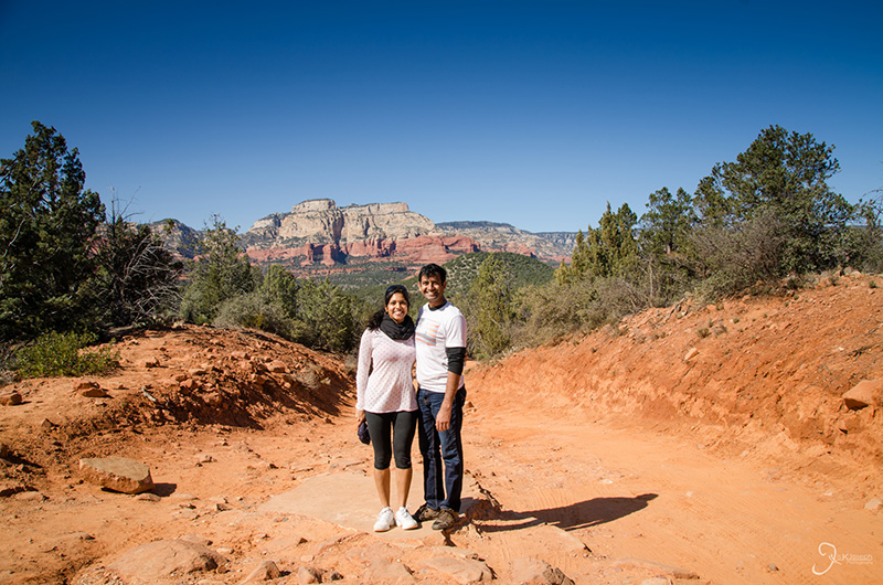
One of the most common reasons why people think I am crazy for embarking on such an adventure is because I did almost all of it by myself. The decision was an easy one for me to make simply because I knew what kind of adventure I wanted for myself. The obvious perk of having someone along for the ride is that I had someone to share my memories with. Visiting Sedona and the Grand Canyon with Amritha and exploring the Sequoias and California's Central Valley with my family friends, Thomas and Annsy, created some of the most vivid and fun memories on my trip. The downside to having a sidekick is that you are also on their time too. That possibly means extra stops, extra time in hotels to accommodate for shower time, as well as financial considerations. While I was alone, if I wanted to stop for a grand photo, I could without risking to irritate my passengers. Furthermore, the landscape kept me occupied because I was constantly itching to find out what was beyond the next ridge, around the next curve, or over the upcoming hill. The diverse terrain was very refreshing for a young guy like myself who had been accustomed to Florida's flat green landscape.
The reason why most people are turned off by doing a road trip is because they think of all the times they drive along the interstates - monotonous straightaways that are often elevated, bordered by thick brush or billboards that coverup the natural landscape. The interstates are good for one thing: for getting drivers from point A to point B in the fastest way possible. Sometimes it is a good idea to utilize the interstate system on a cross country road trip, but for the most part, it takes away from the country's beauty, especially out west. The weaving country backroads is where you will start seeing some of the best landscapes.
This is probably a no-brainer. As diverse as the terrain was, my mind needed multiple ways to be stimulated (especially while driving through Kansas, western Texas, Missouri, and central Louisiana), and radio reception was never guaranteed. While preparing my trip I created a few MP3 CDs, organized by genre. I also downloaded several podcast episodes from Freakanomics, NPR, and a few tech blog sites to help my gears think. Lastly, I highly recommend bringing audio books. Several of them. I brought a few I had never read, but I also bring a few that I have and did not mind listening to again should one of the unknown audiobooks put me to sleep
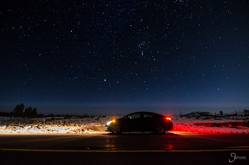
This is not a safety message. Driving at night defeats the purpose of a road trip, that is to see the sights along the road. Unless of course, you want to stop and see the stars.
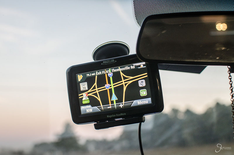
In the 21st century we have become too accustomed to technology and forgot the age old skills that our parents used to navigate through the road. Some people may not have a good sense of direction, but I know plenty of people who have simply lost it because they have become to reliant on the GPS. Fortunately, and some may think ironically for a tech junkie like myself, over the years I have resisted the GPS as much as I can. I guess I am like one of those old stubborn guys that does not need to stop for directions. I spent more than a year planning my trip and I am the type of person who takes pleasure in starring at maps and studying routes. I never memorize roadways but I attempt to grasp a general sense of direction and build some gut instinct should technology ever fail me, which it did on multiple occasions for various reasons on my trip:
- The road the GPS chose was closed, destroyed, or nonexistent
- There are no cellphone towers in the desert, which means, no talk, text, or data available
- For some reason or another, the GPS lost connection to the satellites
- The GPS failed to consider dynamic traffic conditions.
- The GPS was wrong
I made it an important bedtime ritual to study the next days route and research additional stops to avoid getting lost in the desert.
My route changed here and there due to time and unforeseeable circumstances. For example, I did this road trip because I signed up for my final clinical pharmacy rotation to be on a Native America Reservation in San Carlos, Arizona, only to find out in the middle of Texas that I was being reassigned to Phoenix, Arizona (a blessing in disguise in my opinion). A slight detour, but a detour nonetheless. I also considered going as far north as South Dakota to visit Mount Rushmore, but since I was not comfortable or prepared to drive on snowy/icy roads, I decided to skip the northern detour and drive through the Colorado Rockies.
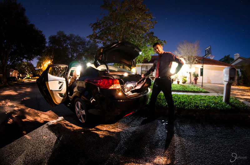
Pack an umbrella, flashlight, batteries, first aid kit, pillow, towel, and blanket in the car. You never know if you will need these things and all it does is take an extra cubic foot of space. I was so paranoid about getting lost, I brought two dedicated GPS units from two different manufactures so that I knew I would always have two backups should my smartphone fail me.
Make sure you drive into a major city during the afternoon rather than the morning, and visa versa. It can save you hours of time just by simply planning to drive the opposite way of traffic during the weekdays. LA is the only exception to this tip. Traffic is a way of life over there.
You will be spending hours at a time sitting in your car seat. Don't dress to impress! Dress to prevent wedgies!
Although I am not prone to DVTs (yet), the pharmacist in me tells me to take a baby aspirin in the morning before a days worth of driving... just in case. (Warning: do not give aspirin to children)
While planning for a trip, find interesting spots that are between three to four hours apart. Having a spot in mind makes the trip seem smoother and faster, and it great for the body to allow some of that blood to flow to your extremities.
While you are at your stop, you might as well top your tank and grab some grub. You never know how far the next (open) gas station is in the barren desert, or when you will get your next satisfying meal.
You will get hungry on the road. Is it worth the extra time just to nibble on some Mickie D's?
All you need is a lousy traffic ticket to put a damper on an epic road trip. Drive within the speed limits and take your time to enjoy the scenery. If you planned things right, you will get to where you need to be in good time and the drive will be much more rewarding.
Except for Kansas. Drill through that state as fast as possible for your own sanity!
The golden hours are the hours after sunrise and before sunset, when the sunlight is not as harsh on your subject and you get nice warm and vibrant colors for your photos. Post processing can only do so much, so plan to wake up early and travel to your sites before dawn to take the money shot.
When the lighting is not optimal, plan for some indoor activities. Most of the major cities have something like a museum. Be sure to visit the museum's website to verify their photo policy. Most places allow photos, just no tripods or flash.
They say the best camera you have is the one closest to you. Similarly, the best lens you have is the one that you have on your camera. I never knew if a good photo op was suddenly going to flash before me as I was speeding through the country roads, so I always kept my 18-250mm zoom lens on my camera at all idle times. Although it does not take the crispest photos, it is the most versatile lens I own, able to shoot at wide angles for landscapes, or zoom in to spot some of the finer details of a scene.
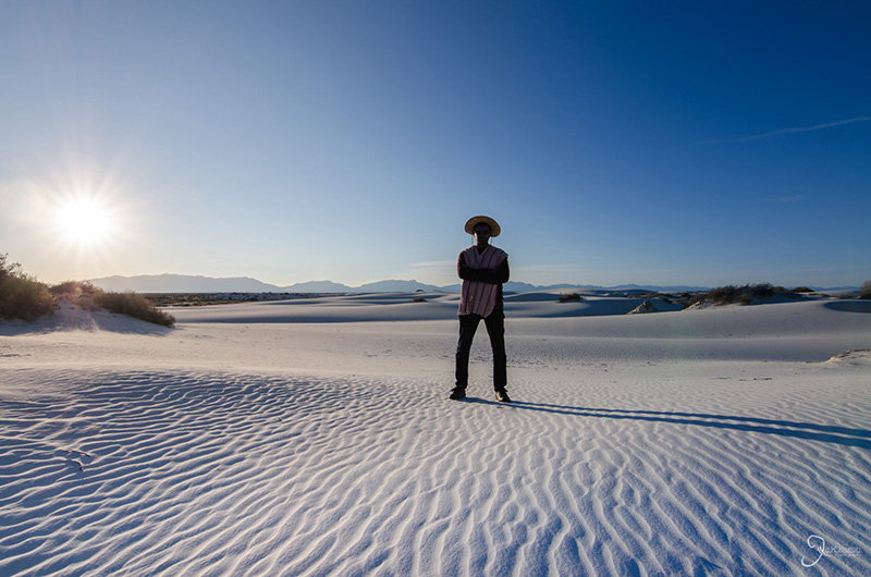
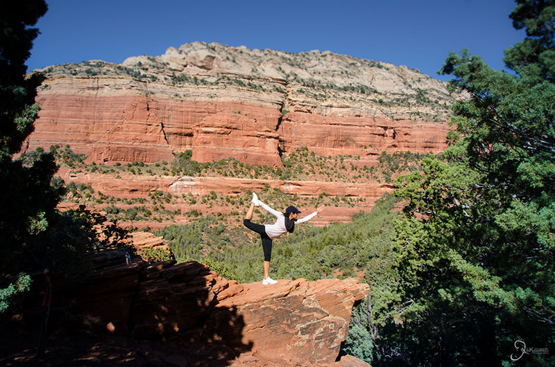
Not only is it great for sunsets and low light photos, you never know when you could get creative for a self portrait. I have visited so many canyons and deserts without a soul by me and wished someone could take a photo of me to, at the very least, document that I was actually there at that location (the selfie look can get redundant after the second shot). That is when the tripod came in handy and, other than those of you who read this tip, no one thought I looked silly.
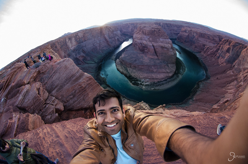
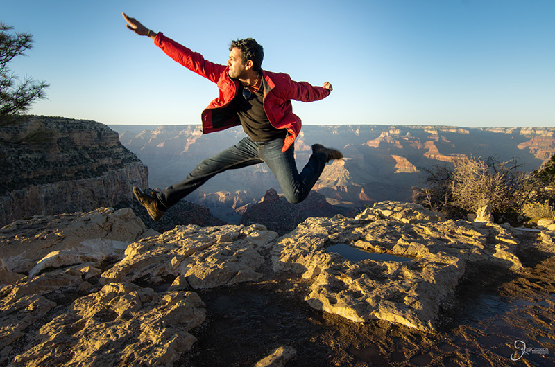
Prior to my trip I thought a fisheye lens was a novelty lens because it creates so much distortion. It was a lens I eventually wanted to have in my collection, but knowing that I would being visiting mountains, valleys, and canyons, I purchased an expensive aspherical 11-16 mm f/2.8 ultra wide angle lens to capture some of the vast landscapes. Then this past Christmas, my wife-to-be bought me a fisheye and it has proven to be the most useful lens on the trip. I did use the ultra-wide angle a few times and the photos came out very sharp, but because of how spread apart landscape features were, the distortion of the fisheye produced a much more rewarding picture. It was a pleasant change to the straight and flat scenes produced by aspherical. The fisheye lens also quickly became my "selfie stick," as it was super easy for me to take selfies that included a lot of background.
Most fisheyes are in the thousand dollar range, but you can easily get an off-brand fisheye for less than 200$ on Amazon. It does not take the crispest photos, but it gets the job done fairly well.
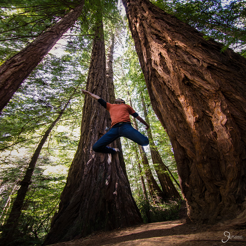
Put down the camera and see things for yourself, with your own God-given eyes. Absorb and saturate yourself with the experience. A photo you take can be printed and shared with all your friends and family, but you are the only one that has the opportunity to live it. Take advantage of that and cherish it.
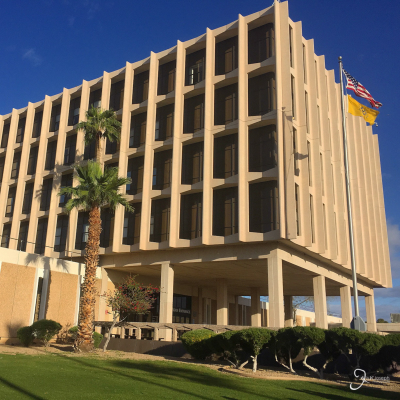
After seven diverse rotations, my eighth and final block was the one I had been looking forward to for over a year. I was assigned to a small federally owned clinic on a Native American reservation with the Indian Health Services in San Carlos, Arizona - a small remote town about two hours east of Phoenix with a population of around 3,000 in one of America's poorest reservations. It was an experience I was looking forward to, for it meant being exposed to a unique patient demographic and exploring how a federal institution functions as compare to my previous experiences in a private teaching hospital in an affluent neighborhood in southern Florida, and a community hospital in Atlanta.
Almost immediately after I got word that I would be able to go to Arizona for my APPE I planned on making an adventure out of it, rather than a commute. After several months of planning, on February 7th, 2015, I began my journey out west with a seven day road trip across the country with several stops along the way. It was when I reached Austin, Texas, more than half way to my destination, that I was notified by the San Carlos pharmacy director that IHS was no longer taking in students at their site. It was a decision made by the pharmacy back in October and despite me being in contact with the pharmacy staff in the weeks prior via email and phone, IHS failed to notify me, as well as my school, that they came to this decision. After more than a year of planning, investing time and money to travel across the country, and only one rotation away from earning my doctor of pharmacy degree... I panicked. How could such an atrocious act of miscommunication happen at a time like this despite maintaining a line of communication in the weeks prior? As of this writing I am still scratching my head, but fortunately IHS quickly realized that they dropped the ball and they scrambled to reassign me to their major hospital in downtown Phoenix. I had an established network of friends in Phoenix and within 48 hours of being reassigned, I was fortunate enough to have a college friend that welcomed me to come live with her and her family for the next 5 weeks. This stressful experience in dealing with IHS before I even got to the institution not only left a bad taste in my mouth, but also gave me a glimpse of how a federal institution functions.
As a clinical rotation, my experience at the site was actually quite rewarding. This 30+ bed facility has a large outpatient pharmacy and several smaller pharmacies that cater towards their respective clinics (pediatrics, anticoagulation, dental and eye, oncology, inpatient, etc...). Nearly fifty pharmacists are employed at this hospital which means that there is a high pharmacist to patient ratio. I think having a high ratio is an excellent model to improve patient satisfaction, progress the pharmacy profession, and overall help improve healthcare outcomes. The pharmacist have the ability to modify many medication regimens without a large amount of physician oversight (cosign is needed for some) if the prescription has an inappropriate dose or is not indicated for the patient's healthcare needs. Although the pharmacy uses an antiquated software system that reminds me of MS-DOS, there are certain healthcare technologies that I have never seen before and sparked my interests, one of which was their dispensing robot. After a pharmacist processes the prescription data, the robot is able to take the information, select the appropriate vial size, count the exact quantity of one out of 150 highly dispensed medications, and labels the vial, all within seconds before the pharmacist verifies the contents of the vial and dispensing it to the patient. It is a stark reminder of how strongly tied pharmacy is to robotics and technology and further strengthens my aspiration to be involved with oncoming waves of technology impacting the pharmacy setting in the coming years.
The pharmacy department also offers immunizations, but unlike most institutions, the pharmacy department also provided immunizations for hepatitis, MMR, PPD, HPV, and chicken pox. This, as well as the recent outbreak of measles in nearby California, provided me with an extensive refresher on the various vaccines, their relative disease states, and the many different compositions and administrative techniques for the vaccine products.
Another unique observation while at this site was the exclusive patient population that IHS caters to, Native Americans, which challenged my cultural competency. There are over 500 federally recognized Native American tribes, the majority of which live on reservations that are west of the Mississippi. Although Arizona is famous for cities like Phoenix and Tucson, most of the state is controlled by Navajo, Hopi, and Apache tribes, and numerous other smaller tribes. It is easy to group these people under the Native American umbrella, but each tribe has very distinct cultural norms and walks of life. For example, many Native American cultures have a holistic view on life and yet death is a topic that is rarely discussed amongst them until the time comes near. For a topic that is already difficult to discuss, this can be an added challenge for a healthcare provider. Many Native Americans have a high value of showing respect to others by not interrupting them or questioning them. Although a Native American may nod his or her head after being counseled, which normally indicates that the person understands, this more often simply means that the individual is listening to the counselor but not necessarily understanding. The teach back method and asking open ended questions to patients are two heavily utilized techniques to help communicate a patient's healthcare needs. This barrier to communication is also seen in pain management. Many Native American's have stoic personalities, meaning that they may not show any physical and facial expressions to demonstrate their pain level, thus making an already very subjective assessment very difficult to ascertain. Many of the patients that come from the reservations who have these cultural differences often have a family member or friend with them to help translate between English and their native language. Although this may seem beneficial to a patient's needs, HIPAA violations and accurately relaying the patient's healthcare needs come into question. Therefor, the best practice is having an official interpreter to facilitate the conversation and better communication is the key to overcoming all of these challenges.
If I were to describe IHS in a few words, I would say that IHS is the child that was conceived after marrying the DMV with a US military unit. IHS is able to provide a multitude of services to an underserved patient population, and pharmacists are deeply involved in all of them. The large scope of the pharmacy has shown me how previous institutions could learn from this model to improve the quality of patient healthcare. With all that said, IHS is a decentralized healthcare institution with many departments of uniformed personnel and several layers of bureaucratic red tape, all of which facilitates the poor communication between departments and the slow progression of completing tasks. Me being able to step foot into the pharmacy took several days due to the numerous departments involved with me getting security clearance, computer access, acquiring immunization records, and participating in a two-day orientation meeting. As a citizen I have had the frustrating experience of waiting in line at a government office for simple tasks to get done, but as an intern it was frustrating to see how the system functions from the inside and how the lethargic pace in which administrative task are done was an accepted way of life rather than an area of improvement. I found this unacceptable, especially for a federal institution that should push itself to set the bar high and be an example to other public and private hospitals. Prior to this rotation I had some aspirations to work at a federal institution like the VA, but I can not help but think that after my experience with IHS's human resources and administration, and the headlines that have come to light over the past year on how the VA functions, would only build frustration in me as an employee. I am not closing the door on any opportunities to work with a government entity, but this rotation has fortunately given me an idea of what to expect should I go down that path.
I will openly admit that I have been very blessed on this trip. Not for just having the opportunity to experience such a trip, but also blessed that nothing unfortunate happened to me. I never had car trouble or got into a car accident. I never got lost in the desert. I was never mugged or robbed. I was never attacked by a deadly scorpion or a rattle snake (admittedly, I was keeping an eye out for one for a photo op). Other than a day of light showers the weather was very kind to me. Just as the east coast was experiencing one of the worst winters on record, I came out west during the best time of the year where I was exposed to pleasant temperatures and got to witness the desert transformation from a dry winter to the colorful spring season.
In fact, anything good that could happen, did, and went even beyond that. I started my journey just when gas prices were reaching five-year lows, where I filled up in Louisiana for only $1.78 per gallon. Five days into my road trip, when I learned that my assignment at San Carlos was canceled, I thought I would have to cancel my long awaited expedition and return to Georgia to find another rotation site in order to graduate from my program on time. But little did I know at the time that being reassigned to Phoenix was really a blessing in disguise. My original site was in a Native American reservation for the Apache tribe, located about two hours east of Phoenix. Little turned up in my research about the town: the closest Walmart or McDonald's was about an hour away, there was no cell phone coverage in the area, and according to some websites, San Carlos was the poorest reservation in the United States. True, I did not get to experience life on a remote reservation like I had anticipated, but being reassigned to Phoenix meant this 21st century youngster was not going to be cut off from society like I had anticipated. I had clean running water, electricity, internet, and cell phone reception. I was down the street from shopping plazas and malls to meet my supply needs. I had on-demand access to In-N-Out Burger. I became so fond of Phoenix that I developed dreams of moving to the desert with my wife-to-be and start a life out there. I was also able to enjoy so much more of Arizona because I reconnected with old friends and made new ones. I had easy access to museums and adventurous hiking routes. And I was surrounded by a wide collection of food and entertainment venues.
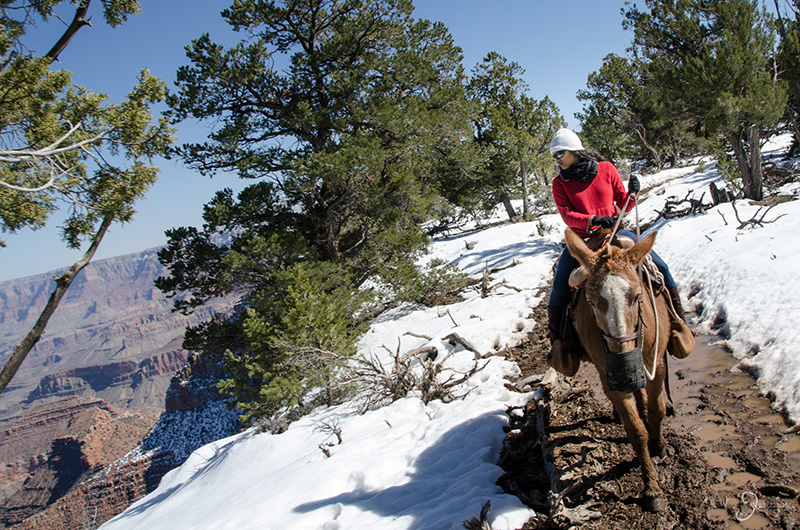
I took over 20,000 photos on my trip, but they were not the reason why I pursued this journey. As I have matured I have come to realize that my camera, my laptop, the photos I produce with them, and all my other material belongings, will come and go, but it is the memories I create that will stick with me and become priceless. Photographs help remind me of my memories, but they can't capture the taste of wine Californian wine, the sheer size of the Grand Canyon, the healthy lifestyle of west coast people, the feeling of riding on a mule, the smell of Californian roses, the satisfaction of climbing to the summit of a mountain, or amount of boredom that the state of Kansas can cause. I hope my pictures not only elicit some visual pleasure, but also inspire people to step outside of their comfort zones, explore this vast and beautiful country in the best possible way, and make some memories of their own.
There are a select few individuals that I would like to thank that made my epic journey possible.
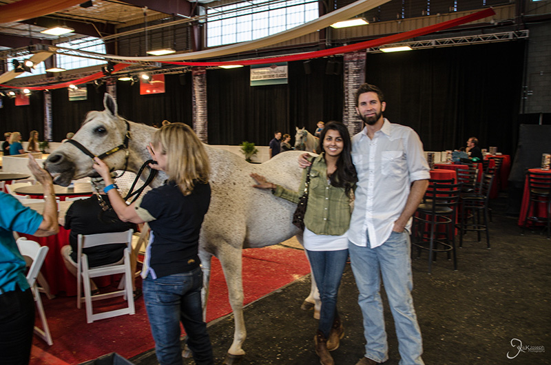
When my one year plan to complete my final clinical rotation started to crumble just days before I was scheduled to start, Corinna and Cody welcomed me to their home with open arms. I am eternally grateful for having these two good friends invite me into their home and allowing me to stay with them as I completed my final rotation. Without these two I probably would not have had the great time I did have in Arizona, or the opportunity to graduate on time!
Thanks to Dr. Julie Wickman, Mrs. Julie Stevens, and Ms. Bridget Bexho, for coordinating with me, my preceptor, and allowing me the unique opportunity to work with IHS. Their flexibility and quick reaction to my reassignment to Phoenix Indian Medical Center made my journey remarkably less stressful.
Thanks to my preceptor for taking me in on such short notice (less than 24 hours notice!) and for arranging assignments, meetings, and activities at PIMC that provided a worthy educational experience with IHS.
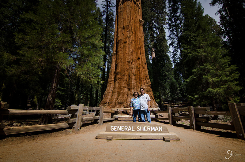
I met and got reacquainted with dozens of friends, some of which I have not seen in nearly a decade. Despite the vast expanse of time between our meetings, you all treated me like a regular friend you just saw yesterday by showing me a great time in your cities and providing me 5-star hospitality. This special thanks goes to especially Thomas and Ancy, Jonathan and Amanda, Anuradha and Chris, Sharon, Dave, Amy, Kristina, and Keene.
Special thanks to my wife-to-be for allowing me to go on this epic adventure alone. Despite the oncoming date and all the planning that had to be done, Amritha was very patient with me as I took advantage of an opportunity of a lifetime. She also went out of her way to spend a weekend with me and visit the Grand Canyon together. Although I would have love to do my entire adventure with her by my side, life did not make it so. Next time, we will be doing it all together and even better!